A Notch is really a valley between two mountain ranges and was named that after settlers notched trees to mark the route through the mountains. Along Crawford Notch are the Presidential Mountains - Mt. Adams, Mt. Jefferson, Mt. Eisenhower, and Mt. Washington, the tallest mountain in the Northeast at about 6300 feet.
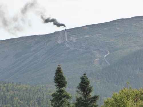
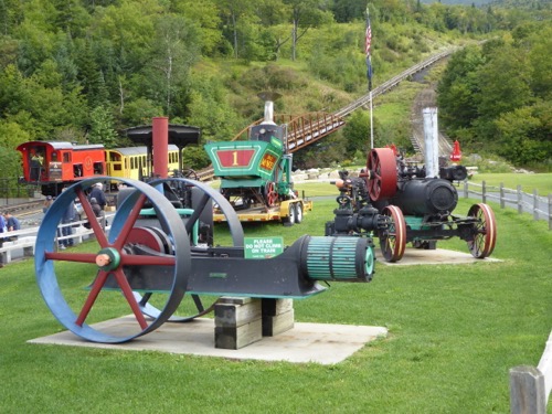
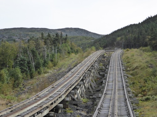
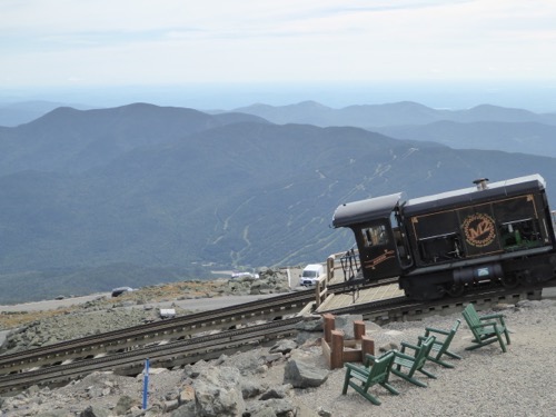
Sylvester Marsh got the idea to build a railroad up the mountain to make it easier for tourist to get to the top. He proposed his idea and requested permission from the state legislature in 1866 to build this railroad and they laughed at him and said as long as he was going to build a railroad up the mountain he might as well build one to the moon! The cog is a big toothed wheel in the center of the engine that moves up a slotted track and pulls the train up without letting it roll backwards. The engine pushes the passenger car up and leads the car down. The first engines were steam but now they use bio-diesel engines except for the first run of each day they use a steam engine.
Parts of the track are at a 37.4% grade as it winds its way straight up the side of Mt. Washington. At the top is a visitor center and a weather station that is manned year round. Winds of hurricane force are not uncommon with an average velocity of 37 mph and with temperatures of minus 40° or lower there is 177 inches of snowfall. The highest wind was 231 mph in April,1934. The warmest it has ever gotten is 74°. The ground is permanently frozen.
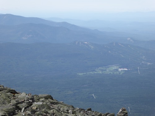
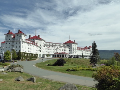
At the bottom of Mt. Washington is the Mt. Washington Resort and Golf Course. We walked through the enormous lobby and contemplated champagne on the porch while watching a train climb the mountain but drove over to the golf course instead. We did not play but did shop for shirts & hats but found nothing to our liking.
Just down the road from the Cog we found a ‘short’ hike. Kedron Trail left the Willey House and was supposed to be .75 miles up to a waterfall. We had no poles and thought it would be an easy, short hike. Were we ever wrong! It was steep, narrow, rutted with tree roots and boulders. If we hadn’t gotten to the waterfall when we did we would have just turned around and gone back down with nothing to show for it. And our FitBits said we walked over 2 miles! I rewarded our efforts with a scoop of Moose Tracks ice cream!




No comments:
Post a Comment