Showing posts with label Montana. Show all posts

Monday, August 24, 2020

The Route of the Hiawatha

In 1907, after years of exploration of the Bitterroot Mountains, surveying and planning, the Milwaukee Railroad started constructions of the line through the mountains to complete a route from Chicago to Seattle.  By 1911 freight and passenger trains were running through using electricity to power the locomotives.  Despite financial problems during many years the train kept running until 1980 when the last freight train came through the tunnels.

It wasn’t until May of 1998 that most of the trail was opened to hikers and bikers and it was in 2001 that the 1.7 mile long St. Paul tunnel was opened.  Today we went through that long, dark, wet tunnel plus 8 more tunnels and over 7 high trestles in our 15 mile ride down the trail.
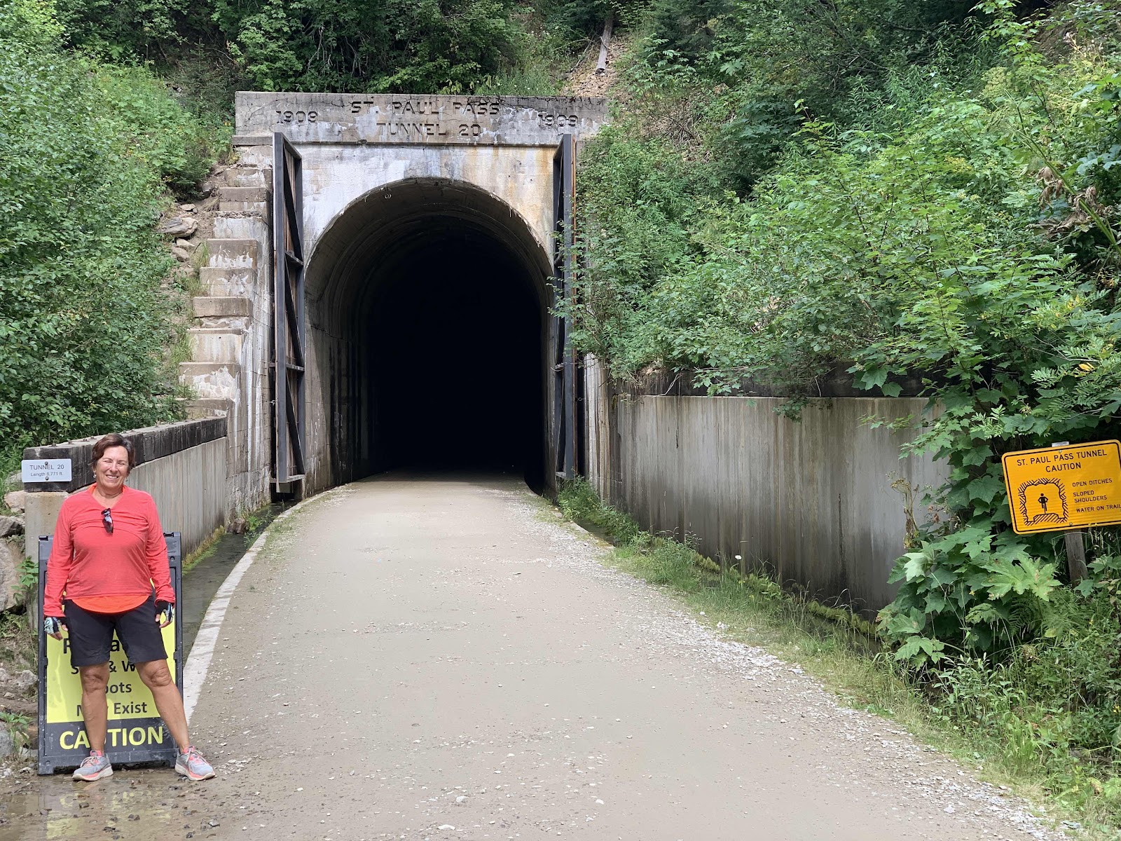

We left Henry’s Lake on Sunday and drove 6 hours through Montana to Kellogg Idaho where we met up with our friends Ray and Judy so that we could ride the Hiawatha with them - our third time and their first.  The ride through that tunnel  was very daunting for Ray and Judy as they didn’t really know what to expect but John and I actually enjoyed it and had fun teasing them afterwards. The only lights in the tunnel came from our head lamps and bike lights, water is constantly running down the tunnel walls and collecting in ditches on either side of the bike path and it was COLD, 45 degrees all the way!
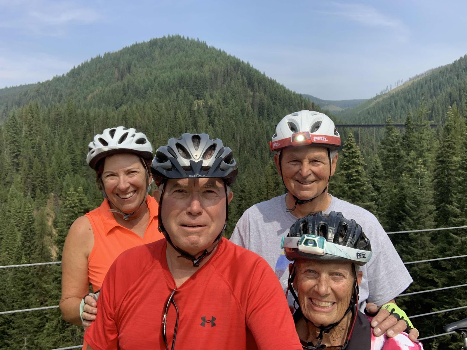

It was a beautiful day and the Bitterroots were glorious.  We’ve driven through forested mountains many times, but this bike ride took us up and into the forests, with the steep mountain sides falling below us and rock faces hugging the edges of the trail.  We could smell the pines and feel the still and quiet of the trees with gurgling mountain streams fall below the trestles.  It is a magical ride.  

Ray and Judy rode the bus back up to the parking lot below the St. Paul tunnel while John and I used the e-bikes to ride back up the 1.6% grade, 15 miles.  We all had to ride through the long tunnel a second time.  Fun, fun day!

Monday, August 17, 2020

Earthquake Lake

This morning was a major cleaning day for me while John spent time making arrangements to get our Oasis pump replaced so we can again have hot water on demand.

This afternoon we took a driving tour to check out RV parks for this weekend and ended up driving through the Earthquake Lake Geologic Area.


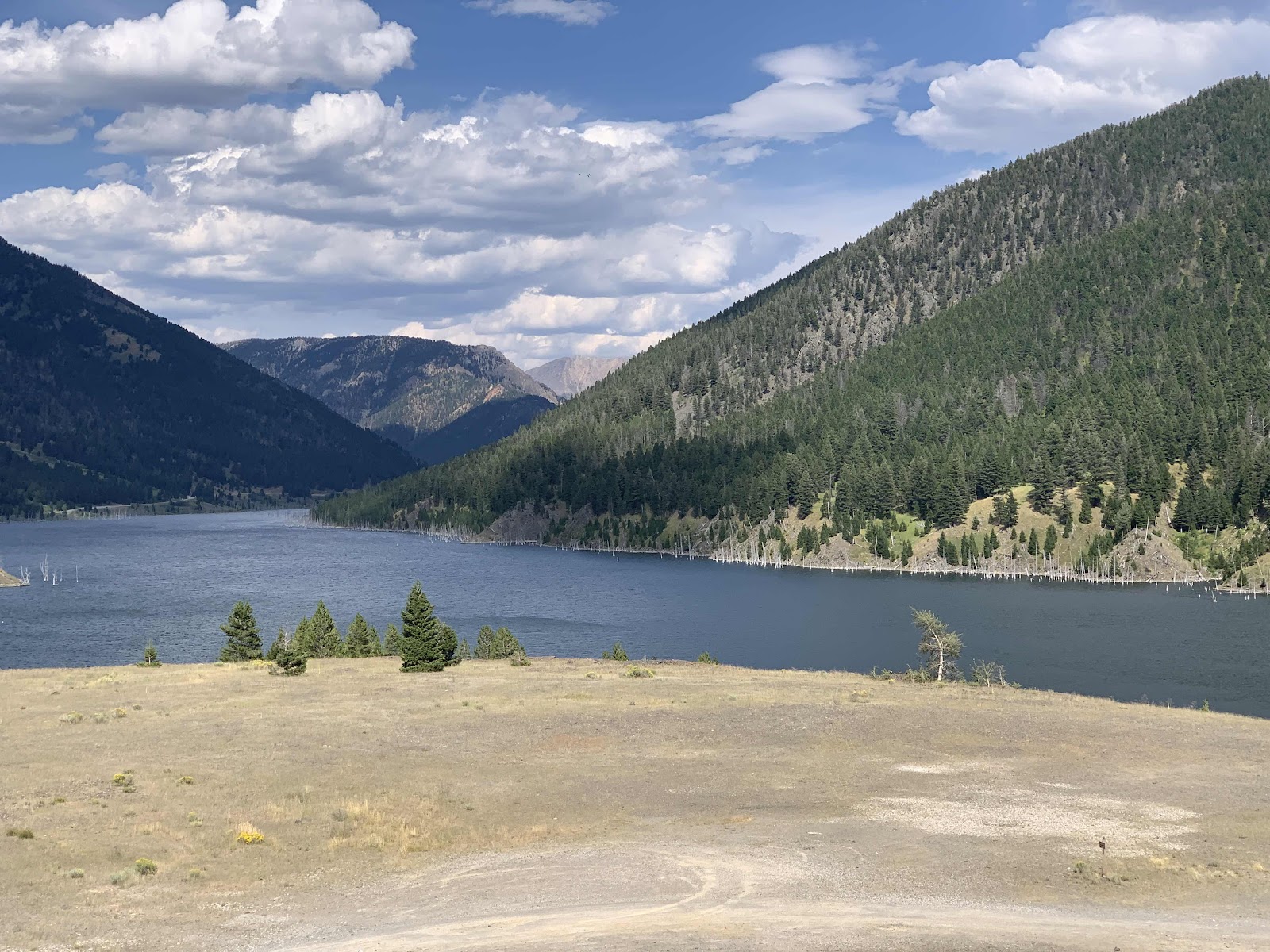
On this day in 1959 a 7.5 earthquake, with its epicenter in Hebgen Lake, set off a massive landslide that sent 80 million tons of rock into the Madison River closing off the canyon and forming Earthquake Lake.  People camping in the canyon were awaken in the middle of the night by the explosive noise and high winds caused by the slide.  Massive boulder rained down and the road was broken. Over 300 people we caught in the mayhem, 28 lives were lost. Up stream from the slide, Hebgen Lake formed  massive waves that swept over the dam and up onto the shore line taking out lodges and cabins. One side of the lake sank 19 feet. Today you can see cabins on dry land that floated away in the floods and the scar from the landslide is most evident.  Engineers created a spillway to ease the pressure on the slide so that Earthquake Lake would not break through the rocks.

Saturday, July 11, 2020

Bitterroot Valley

When we left Flathead Lake we stopped in Missoula to dump, wash the RV, laundry, hair cut, grocery shop and pick up an Amazon order then on into the Bitterroot Valley at the foot of the Bitterroot Mountains.

We snagged a walk-in site in a National Forest campground on Bass Creek and liked it so well we opted to stay for 5 days.  The Bitterroot Bike Trail runs 50 miles from Missoula to Hamilton next to Hwy. 93.  So on one side you have magnificent views of the mountains, ranches and farmland  and on the other side is highway traffic with its noisy cars and trucks.  We rode about 20 miles on the trail and decided that was enough noise.


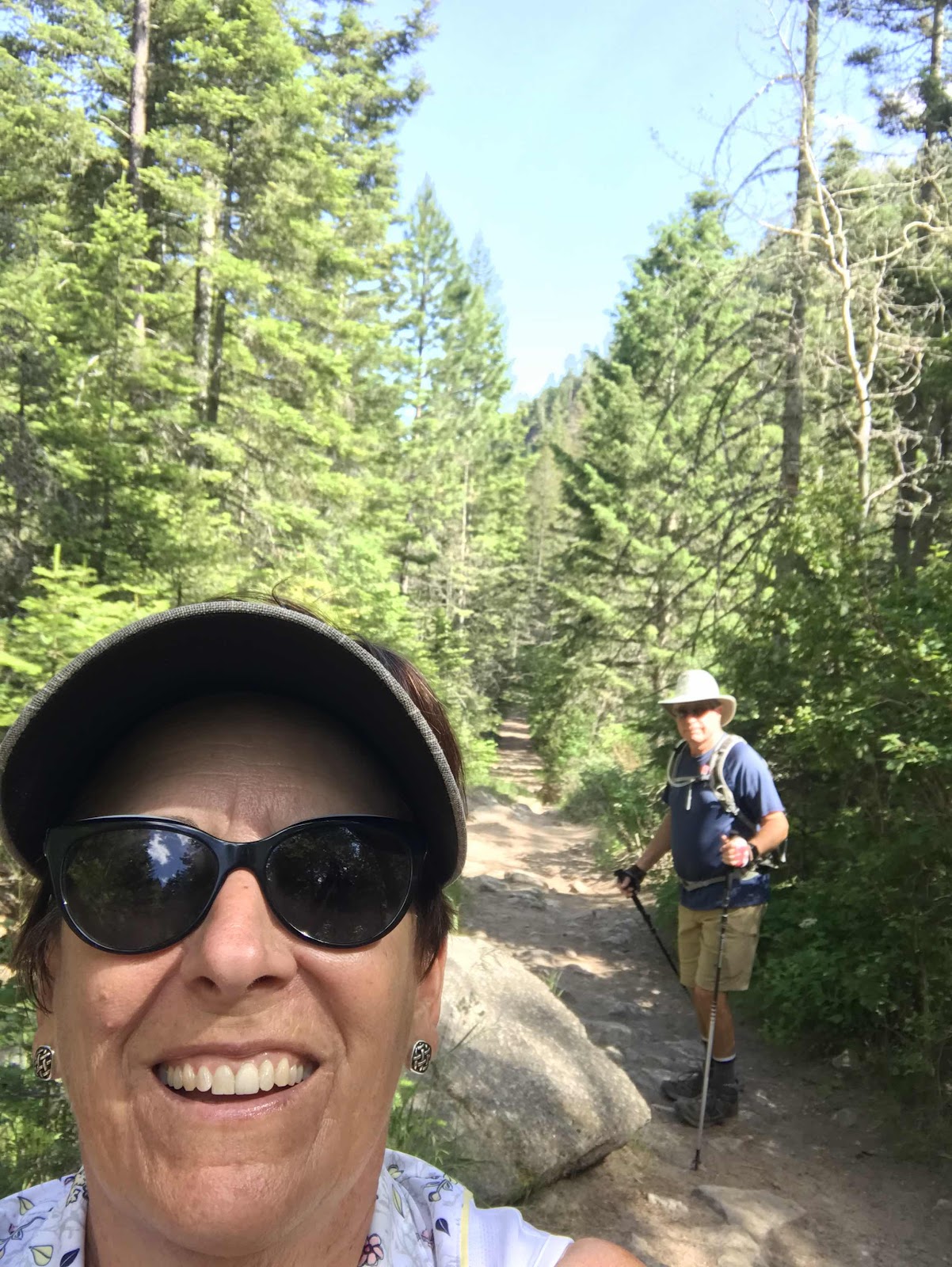
Running alongside Bass Creek is a trail out of the campground up the mountain which at this point is not very steep but beautiful with surrounding trees and rock walls and the only noise is the rushing waters and warbling birds.  We hiked up about 2 miles and John discovered a couple of places where he thought he could fly fish so Friday afternoon he hiked back up and actually caught one fish!  But the water was really cold and the hike a little too far for one fish.

Saturday, July 4, 2020

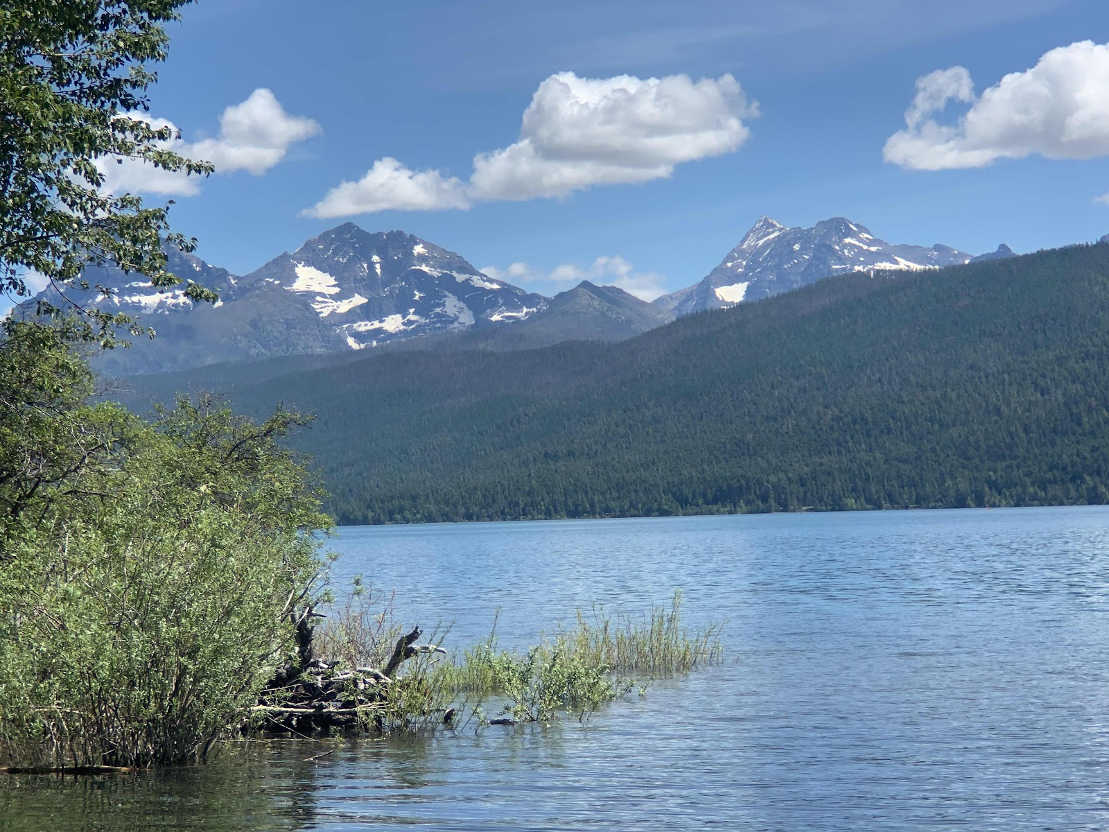
Flathead Lake State Park

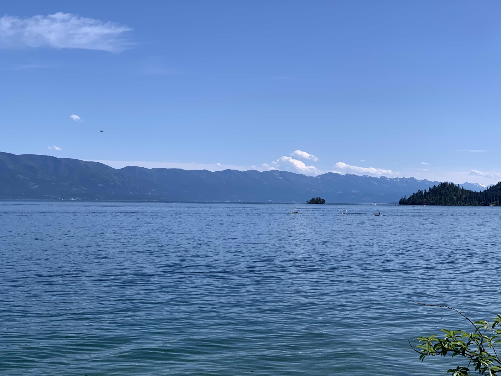
Actually Flathead Lake has 6 State Parks around the lake.  John got very, very lucky and reserved us a site in the West Shore Campground through the Fourth of July weekend.  And it’s a lovely site with a view through trees of the lake.
We have walked or hiked almost all the paths and trails in the park over the weekend.  The shoreline is pretty steep in most places but near the boat launch area people have found a way to be on the water.  Lots of kayaks and stand up paddle boards line the shore and in the campgrounds.  The weather has cleared, the winds are quiet and the temperature gets up to the low 70’s by mid afternoon.  It cools off into the 50’s at night so we are sleeping well!

We ventured out Thursday evening for a nice dinner at a bistro in Lakeside.  It is too easy for us to forget social distancing and face masks and the folks at the restaurant were not good about it either.  We took a chance and wish we hadn’t since we ended up sitting in the restaurant for almost 2 hours. We are resolved to only eat outside or carry out for the rest of the summer. 

Tuesday, June 30, 2020

Rain, Rain Go Away!


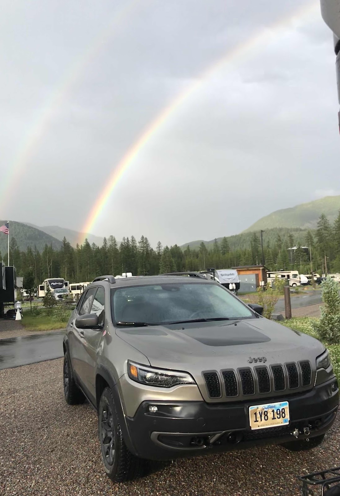
It has rained most of the last two days. Finally this afternoon we had had enough of the RV so we put on our raincoats and drove up to McDonald Lodge and hiked up Snyder Trail in hopes of getting to Fish Lake.  But the trail was steeper than we anticipated and the rain returned, so wet and cold we headed back down.  At least we got a little exercise.

Sunday, June 28, 2020

Taking it Easy

After that long ride, even though our legs don’t hurt much, our bottoms do!  Taking it easy on Saturday was easy to do.  We piddled around the RV, ate lunch then drove to Columbia Falls where we found an easy 3.5 mile hike through Flathead National Forest.  The spring flowers are in full bloom.  John gets a little put out with me because I keep stopping to take pictures of  the prettiest ones and then delete most them! Ha!

Sunday is a day of rest and that’s just what we are doing. Due to the large crowds in the park we are staying away from there for the weekend.

Friday, June 26, 2020

Biking in Glacier Nat. Pk.

Since it was only a 45 minute drive this morning we were camped early enough to to explore West Glacier and then we drove over to Corman and Hungry Horse Dam, had a pizza and then rain sent us back to the RV.
Thursday and it’s a beautiful day!  We rode our bikes up to the Apgar Visitor Center to get the lay of the land, maps, souvineers, and information about riding our bikes to Logan Pass.  Then we went down memory lane with a ride through the campground.  Not sure we would be able to get our new RV in there now.  Of course, all the campgrounds are closed.

The bike paths and roadways are perfect for exploring the area if you don’t take a wrong turn and ride through the employees residences!  Oh well, no one yelled at us.
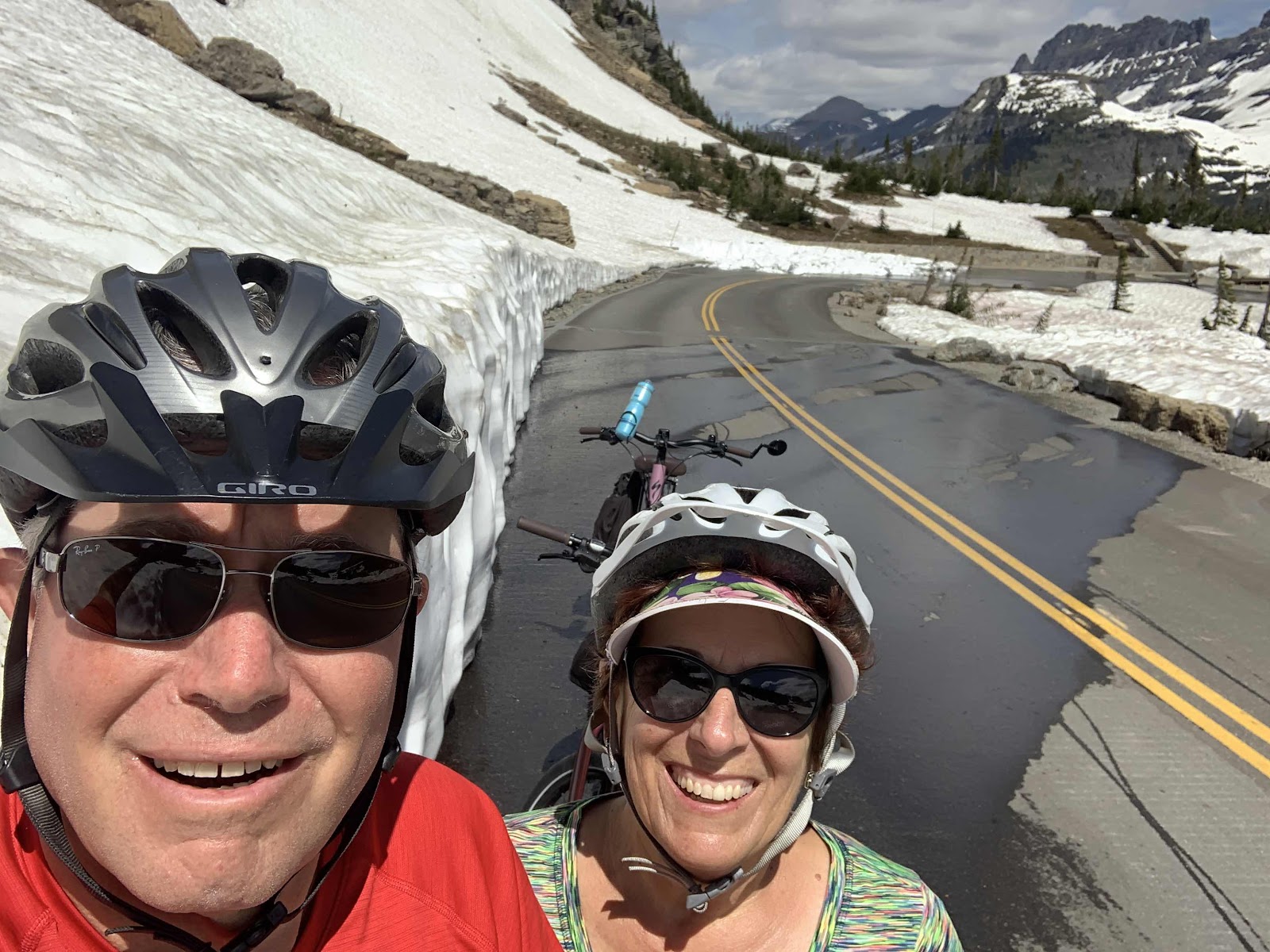
The Going-to-the-Sun Road is open from West Glacier up to Avalanche Pass and campground.  From there to Logan Pass it is walking or biking only.  The road is still snow covered from Logan Pass on to the east.  They are also working on the road and the rock barriers and walls so in places there is nothing to prevent you from dropping off the road.
We were advised to get to the Avalanche Campground/ parking lot early as possible on Friday as it usually fills up by 9 am and there would be no construction happening on that day.  We arrived at 8:40 and feel like we were the last allowed in. 
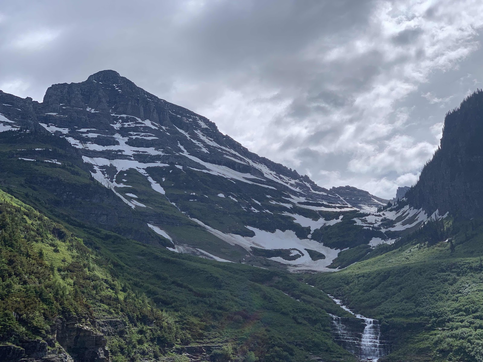
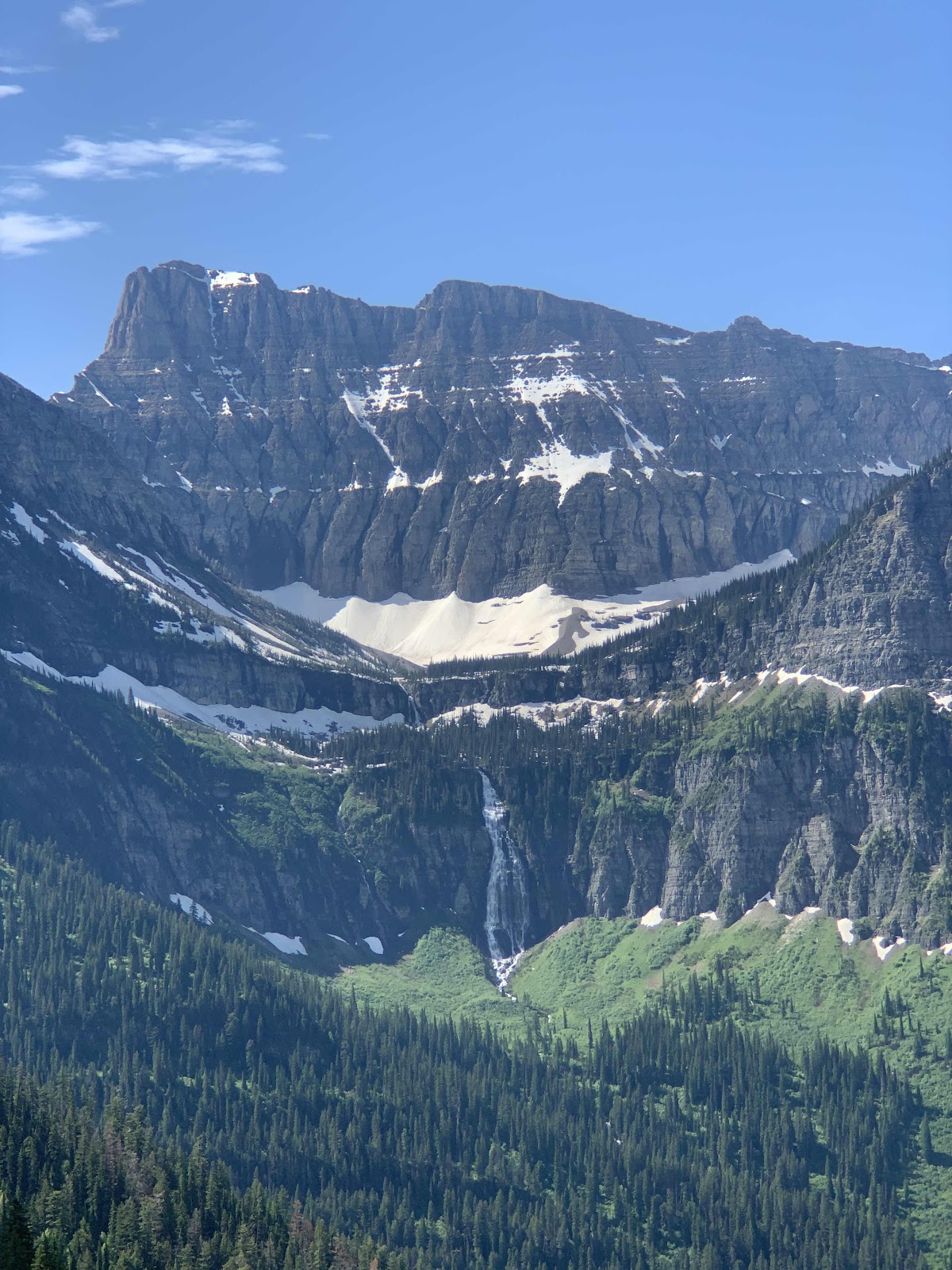
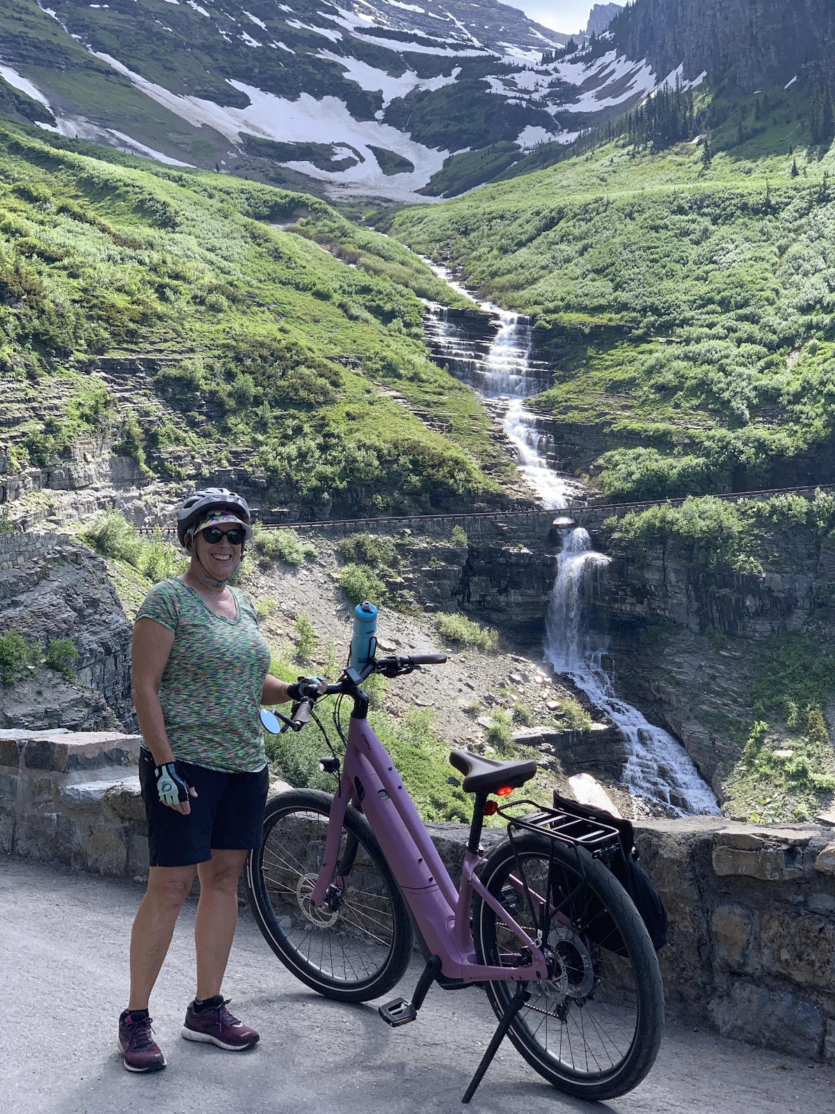
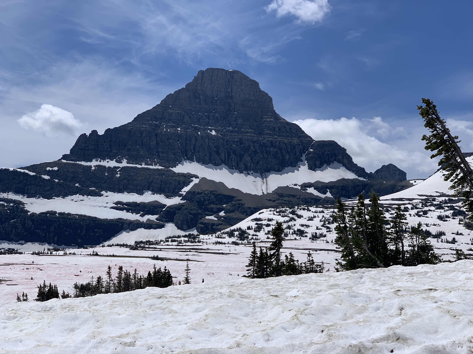
The views were spectacular, the mountains majestic, the waterfalls and snowfields were crystalline. Around every corner was a new vista, a new breathtaking scene, or a new wonder to behold.  One just cannot experience this in a car, especially when there are others lined up behind you wanting to enjoy that same site.

It was 16 miles up to the pass and around 3,000 feet of elevation gain. We were so glad we had the e-bikes as we are simply not able to ride that far on regular bikes. This may turn out to be the highlight of our entire summer trip!


Tuesday, June 23, 2020

Devil’s Creek

We left Hill City on Father’s Day and drove 12 hours to Great Falls MT where we spent the night in a Walmart parking lot before heading towards Glacier National Park.  Coming from the east we passed on the south end of the park and camped in the Devil’s Creek National Forest campground.
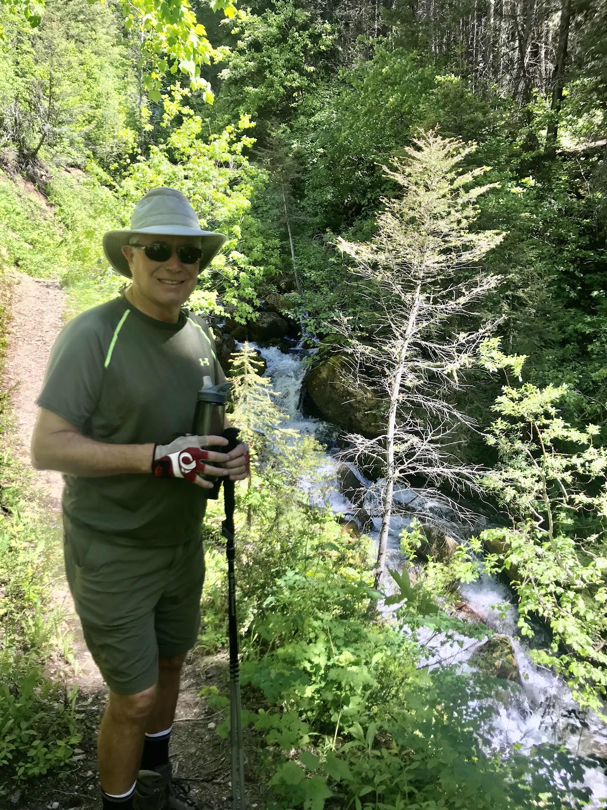
Devil’s Creek looks more like a roaring river than a creek but it is very pretty.  We hiked up the mountain beside the creek about a mile where there were some steep cascades/waterfalls.  John was able to rock hop across the creek and we could have gone on but I was not willing to chance a slip into the water so we turned around.  I love all the spring wild flowers but especially the Bear Grass flower that is found only in this region.
We also took a short drive back to the Continental Divide where there is a memorial monument to Teddy Roosevelt who set aside all this land for Glacier National Park, the 7th in the nation. 

Sunday, August 21, 2016

Kootenai Falls

Waking up with sore bodies convinced us that going for a drive today was a good thing! 

P1000732

Just a short ways north of us and not too far past where we hiked yesterday is the Ross Creek Cedar Grove. Yes, we did hike in a cedar grove but this one has level paved paths with informative signs about the trees, rocks, ferns and flowers. The Giant Red Cedars seemed much bigger as well. It was interesting to see how some grew up like twins and others were so joined together at the bottom that you did not realize it was three or four trees melded together until you looked upward.

P1000734

A little further up the road we turned to go to Libby and stopped at the Kootenai Falls and Swinging Bridge. The Kootenai River runs down from the Libby Dam on the Koocanusa Lake then turns north and runs up into Canada. The falls became a spiritual gather place for the various Kootenai Indian Tribes that were divided by this river and lake. The falls are considered to be the largest free flowing waterfall in the northwestern US. We got a fair workout walking to the viewing area for the upper part of the falls and an even better hike to the swinging bridge which spans the river. But it was worth the effort!

P1000735

P1000738

IMG 3272

P1000741

Libby is a little tourist town that is mostly closed down on Sundays but we had a nice lunch at the Cabinet Mountain Brewing Company along with a tasting of their eight different beers. RJ - you would have loved this place!

P1000743

This evening we were fascinated by the actions of two bald eagles high up in the trees across the river. Then some ducks began chasing or herding the fish in the river. It has been a delightful evening!

Saturday, August 20, 2016

N Fk E FK Bull RV

This is one road sign that we saw today and it took us a moment to interpret what it was trying to tell us. North Fork of the East Fork of the Bull River.

Yesterday we changed campsites again. We headed east then north into Montana and followed the road along the Clark Fork River past Thompson Falls and Noxon where the North Fork of the Bull River joins the Clark Fork. We visited several National Forest campgrounds and one state park before deciding to stay at the Bull River national forest campground (with our national park senior pass it is only $5 a night). We got a prime spot overlooking the river with the Cabinet Mountains in the background. For those who really want to know we are in the Kootenai National Forest in the Cabinet Mountain Wilderness Area, Montana.

John took me out to dinner at a roadhouse only a couple of miles from our campsite (the only restaurant within 10 miles) to celebrate our anniversary last night. We’ve been married 44 years! I mentioned to the young waitress that the place had a nice ambience and she said yes it had a nice atmosphere too! And I had to tell the the bartender how to make a martini! John kept reminding me that we are out in the middle of nowhere!

P1000726

After visiting with a park ranger, we opted to hike the St. Paul Lake Trail up the road from us today. The ranger said it would take us through a cedar grove up to the lake and shouldn’t be too strenuous. I guess we look or act like we are in better shape than we actually are as we never got to the lake! 

P1000727

P1000730

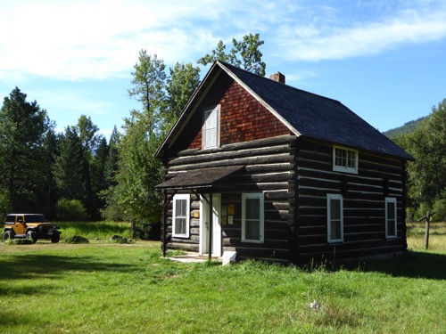
Before we hiked we stopped to visit the ranger stations that was built in 1909. It was on the N FK E FK Bull RV. We had a lovely hike with mountain streams near by, shaded groves of cedar, quiet paths along moss covered rocks and felled trees. Then we started climbing. You know me and going up hill, I had to slow way down. We thought the lake would be about 3-4 miles up the trail but the further we hiked, the less likelihood of finding the lake. After hiking for 2 hours we came to a stream crossing where the trail appeared to just end. As we finished our lunch another hiker came along and walked atop a log to cross the creek and let us know that the trail continued on. So we very carefully crossed the creek and hiked for another half hour. At that point we got a view of the mountains we were hiking between and the peak we were headed towards. The trail in front of us was dauntingly steep, there was no sign of a lake, we had already walked 4 miles (or at least my FitBit said we had walked that far), and our feet hurt! Time to turn around.

IMG 3258

IMG 3261

The following is part of a poem I found called 'Ross Creek Cedars' by Elfstone. 

A grandeur unexcelled demands a quiet awe.

We stop and breathe a different air;

We speak in whispered tones;

We tread softly on the living earth;

We worship by our understanding;

Her, Nature is not an abstract.

Thursday, August 18, 2016

Hiawatha - Swift as His Arrow

The Song of Hiawatha by Henry Wadsworth Longfellow tells how the Indian Hiawatha shoots his arrow with accuracy and swiftness. So the name of the rails to trails bike route was named The Trail of the Hiawatha because it runs swift and sure through the Bitterroot Mountains. We rode this trail 4 years ago and it is so unique we wanted to do it again.

Wednesday we moved from Missoula to near St. Regis to stay at the Sloway National Forest Campground on the Clark Fork River. It was still a 40 minute drive to the Hiawatha Bike Trail but we have stayed here before and it is an okay campground except for the trains that run through all day and all night. We took a warm up bike ride along the road from the campground towards St. Regis except that the road is closed now so we only rode 4 miles. St. Regis is a tiny town 5 miles up the road.

P1000723

P1000724

This morning we loaded up the bikes on the Jeep and drove to the East Portal of the Hiawatha. Most people ride down the trail then take the shuttle back up to the parking lot. We thought we were physically better so we rode down the 15 miles and back up the 15 miles! Lucky for us it is a 1.7% grade according to the signs. None-the-less our bottoms were bruised and hurting by the time we got back to the car.

IMG 3252

The railroad built this route in 1907-1910 with 10 tunnels and 6 trestles on this portion that goes through the Bitterroot Mountains. One tunnel had to be closed due to a fault line running under it. The first and longest tunnel, the Taft Tunnel, is 1.7 miles long with no lights. We were required to have head lights on the bikes or head lamps and a helmet. Once we got past the light from the entrance, it is really dark and cold and damp as there is water running down both sides of the tunnel. It is rather spooky. The other tunnels are shorter - 1700 ft., 970 ft., 760 ft. and shorter. The trestles are 230 ft. to 96 ft. tall. The scenery is beautiful. There is signage all along the route telling how the railroad track was built and the perils of the mountain, weather and other obstacles. It took 3 months to dig the 1.7 mile long tunnel working around the clock. There were 400 men inside digging, 200 outside moving the rocks and 100 men as a support crew. 

Tuesday, August 16, 2016

Missourians in Missoula

After staying in one place for 6 days, it took us a bit longer to get packed up to move on. Its only about 200 miles from Stanley to Missoula, Montana but its a scenic drive through canyons and mountains and it took most of the day to get there.

P1000719

As I said it was scenic! We followed the Salmon River almost the whole way through towering canyons, lush valleys of irrigated farm land and over the Bitterroot Mountains. We would think that the road was going to level out in a valley and then more mountains would loom or all of a sudden we were in another canyon. Our lunch stop was on the river with one of those canyon walls across the road. We also encountered some Mountain Bighorn Sheep crossing the road but it happened so quickly I didn’t get a picture.

We are staying in the Missoula KOA, the same one we stayed in 4 years ago when we visited all of Montana that summer. Our first job was to go grocery shopping. It had been over two weeks since I had been in a super market of any size. It took $250 to fill up the refrigerator! Our second and third jobs on Tuesday morning was to wash the RV and the Jeep and to do a bunch of laundry. John washed while I laundered. Our fourth job was to get haircuts. Then we went our separate ways shopping.

We sat at the Plonk Bar enjoying cocktails and small plates for dinner while visiting with a nice couple from Washington and watching the mixologist create some unique looking cocktails. It made for a very enjoyable evening.

Thursday, July 26, 2012

Enroute to Grand Teton National Park

We left camp early in hopes of getting to the campground in Grand Teton park early but that didn't work out very well. We stopped in West Yellowstone, MT to dump the tanks and take on water. After a quick stroll through town, we ate lunch on the road. The shortest route to Grand Teton National Park is through Yellowstone Nat. Park. The speed limit is only 45 mph with stops to view animals. One stop was to see a grizzly bear in the middle of a field which was not a very photogenic location and another was for a bull buffalo in a grove of trees. Again, not very photogenic.

This route took us down memory lane as we had traveled this way with Erin and RJ about 18 years ago. We sure didn't recognize many locations other than Old Faithful, the mud pots and possibly one place where we rode bikes. Of course, some time between then and now, Yellowstone experienced a huge wildfire so the landscape has changed some.


7/26/12

We drove the eastern route south past the Teton Mountains to try and get to the Gros Ventre (pronounced "Grow Vant") Campground on the south end of the park. That is an Indian name of one of the tribes that used to summer in the Teton Valley. There is another road that goes closer to the mountains and lakes that we will explore this week.

As we drove to our campsite we saw another Bay Star and a Born Free RV. We met the Bay Star owner just before supper and I walked over to the Born Free to discover it was driven by a single lady we had met on our Yucatan Tour 3 years ago. It was great to catch up with her. Another couple we met earlier this week is also camped here.

Wednesday, July 25, 2012

Big Sky Golf Club

After fishing for about an hour this morning, John agreed to go golfing with me at the golf course in Big Sky. It was a beautiful course, designed by Arnold Palmer, so it was a long course. I was playing pretty well on the front nine but then dug my club in the ground and hurt my wrist on #10 and my game went down hill in a hurry! We won't talk about John's game other than it was not pretty after that for both of us. But it was a nice day, not too hot with a cool breeze. We stopped at a local brewery, Peak Brewery, and drowned our bad scores with some good beer and a couple of fish tacos.

After supper, John fished and I visited for a long time with our neighbors who are from Denver. They are very nice and funny. John did get to join us and we hope we run into them again on our travels.

Tuesday, July 24, 2012

Portal Creek Trail

John fished some more this morning while I just goofed off. We have decided to stay one more night at this location because we like it so well. The folks camping around us are really friendly and have some fun tales to tell or seem to enjoy hearing our tales. We might join one family that left today in Teton National Park.

This afternoon we looked for a place to hike. We drove up a gravel road called Portal Creek Trail that promised a hiking trailhead but we didn't know how far we would have to drive. After 4 miles, we parked the Jeep and started walking up the road. It was a pretty walk, very quiet and peaceful except that I had to talk every once in a while to scare away any bears that might be lurking about. Saying things like "Yo Bear, heh Bear, go away, Bear!" Of course, we never saw one. After two miles we actually came to a trailhead that promised a 2.5 mile hike to Hidden Lake but by that time we were tired and ready to go back down so we'll save that one for another time.


7/24/12

John actually caught a fish this evening (don't ask how big/small!) while I visited with some new neighbors. It is so nice here!

Monday, July 23, 2012

BEAR!

We had lots of excitement this evening! Just as we were finished eating inside the RV, John caught some movement out of the corner of his eye. It was a bear walking through our campsite! He ambled along, sniffing at our grill (John had cooked salmon tonight) then started wandering over to the next site. Before I could get the camera out and focused on the bear, the neighbor's dog barked and scared it off. It went down near the river where there was a fisherman, walked behind him then circled the end of the campground, crossed the highway and went into the campground on that side. The campground host was near us in his car so he drove over to his RV and actually got a picture of it. It was a small, well fed black bear only he was a cinnamon color.

With all the excitement I almost forgot about getting the slide fixed. John got up early and drove into Bozeman so that he had cell service to call Newmar. He was gone for almost three hours (Bozeman is thirty minutes away) so I was pretty worried that things were not going well. But when he returned he had a monster wrench and instructions to fix the slide himself. Within thirty minutes he had it working right! Yeah!!


7/23/12

We drove up to BIg Sky for lunch and then John got some trout flies that the neighbor had indicated the fish were striking. So the afternoon was spent with John fishing and I was reading, and rearranging the kitchen, then another fish outing when he caught two trout while I cooked dinner. And then the bear!

Sunday, July 22, 2012

Moose Creek to Greek Creek and a Big OH NO!

Check out time was at 2 PM so we had plenty of time to fish, explore Big Sky and to stake out the campsite we wanted to move to in Greek Creek CG. No luck with the fishing, there is golfing in Big Sky and we got the site we wanted. We are camped right on the Gallatin River.


7/23/12

The Big UH OH happened after we moved the RV to the new campground. We decided it was only about a one mile drive so we did not lock the slides after we got them in. So when I started to push the large slide out, I did not pay close attention and did not realize that one of the locks had locked up during the drive and I ended up knocking it out of alignment so that now it will not open nor close all the way. Not sure what we will do next.

John has tried fishing some more and at least got one bite!

Saturday, July 21, 2012

Dodge and Virginia Cities

After a two hour drive south through a lush, highly irrigated valley and then up to the Tobacco Root Mountains we came to two gold mining towns originally established in the 1860's during the gold rush. Actually, a small number of towns cropped us along the river but these are to only two to survive. Dodge City was a small mining community that is still here today due the diligence of folks willing to move homes to this city or rebuild and refurbish the buildings. It is mostly a living, outdoor museum with people dressed in period costume doing tasks and chores of that day such as rebuilding guns, washing wool and spinning it, preparing a lunch of stew with mountain spinach and re-enacting scenes from that era. We started our tour in the museum where they had a large collection of musical pipe organ like instruments that played with compressed air or by piano rolls. There must have been about 30-40 buildings to explore, stables, post office, general stores, homes, slaves quarters, hotels, a school, jail and bar. In the bar, the barman explained five different gambling games the miners would have played with cards and dice. The hotel had been refurbished so that people could stay there and the bakery actually sold bread, coffee and ice cream.


7/21/12 7/21/12 7/21/12

A small gas powered train ran between Dodge City and Virginia City which are only about a mile apart but we chose not to ride it. Virginia City is more the commercial and touristy town. Even though most of the buildings are original from the 1860's and are being used for stores, bars and restaurants, it was not near as appealing to us as Dodge City. Virginia City has survived in its original condition because it never burned down as happened to many gold mining towns. The city had a reputation as a wild town until a group of vigilante miners decided to put an end to all the murder and gambling and bring law and order to the city. They hung 4 men inside one of the buildings and killed or hung 15 more, including the "sheriff", before things calmed down. Boot Hill Cemetery contains the graves of the first ones hung.

The drive from Virginia City to Yellowstone Country south of Bozeman went through two mountain passes and was a curvy road. We had selected three National Forest campgrounds along the Gallitin River to try to find a place to stay but they were all full. After visiting with the campground host in the first one, we ended up staying in the parking lot of the day use area of Moose Creek CG. Then 4 more RV's pulled in next to us as well. It was nice having close neighbors to visit with.

Friday, July 20, 2012

Anaconda

No, we are not staying in a snake or near a snake or anything having to do with a snake! That's the name of this town near one of the largest free-standing smoke stacks in the West. Gold lured the miners to this area, silver encouraged them to stick around, but copper is where they made all their money and this smoke stack was part of the smelting plant that produced some of the purest copper in the first half 1900's. It is almost as tall as the George Washington Monument. Other than that, there is not much around here.


7/20/12

We are only 12 miles from Butte, so during a fierce but short thunder storm, we drove over and toured the downtown area of Butte. It is a well restored and maintained wild west town with lots of old buildings mixed in with the new but the rain deterred us from getting out and exploring more of the area and stores. It is said that Butte has over 2,000 miles of mined tunnels under the city and it is sitting near a huge open copper mine.

Thursday, July 19, 2012

Route of the Hiawatha

We left Lake Mary Ronan fairly early and drove toward St. Regis where we found our way up a gravel road to the parking lot for the biking trail called Hiawatha. This is a rails-to-trails route that was built by the Minneapolis Railroad across the northwestern USA from Chicago to Tacoma, WA. At the Montana and Idaho border the tracks went through the Bitterroot Mountains. In order to go through these steep mountains, they built the track on a 1.7% grade which meant they had to build numerous tunnels and high trestles. The track was abandoned in the 1970's.


7/19/12 7/19/12

Today 15 miles of that track is for biking with another 30 miles to be added. The portion we rode on goes down hill for 15 miles into Idaho and then if you want you can ride a shuttle bus back up the hill to your car. We chose to ride our bikes back up so we only rode 12.5 miles down. The trail starts at the longest tunnel on the route at 1.7 miles long. Everyone is required to have headlights as there are NO light in any of the tunnels. That first tunnel was black, cold and wet! It took some getting used to and wishing we had worn jackets even though it was 90° today. We rode through 7 more tunnels from 300 feet long to 1500 feet and across 6 high trestles. A couple of the trestles were over 200 feet tall. It was a great ride even if it was up hill all the way back. It was also a very popular trail with lots of families with small children.


7/19/12 7/19/12

Tonight we are camped in a National Forest campground. Our RV threw us a water balloon today! A hose from the water pump came loose and spouted water into one of the compartments. Its a good thing that John is such a handy man. He canabalized a clamp from another hose on to the one we needed and figured out how to temporarily close off that other hose. Now we have to find a hardware store. Luckily, nothing in that compartment was damaged by water.